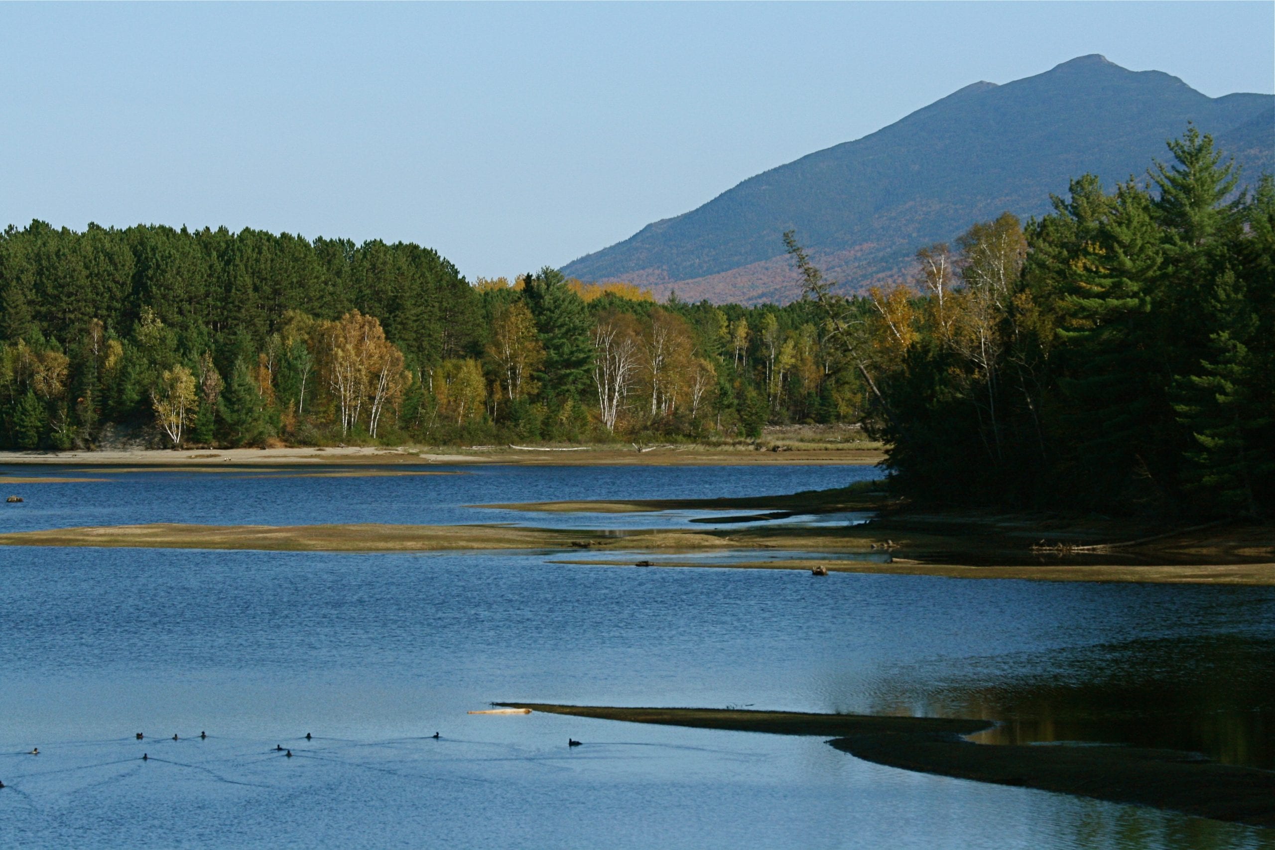
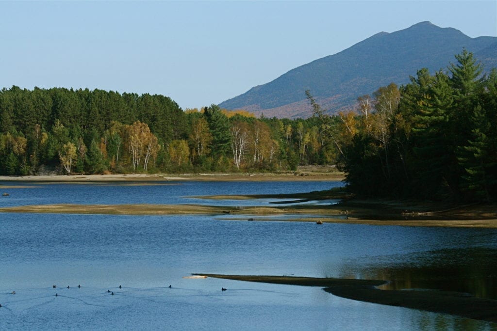
Southwest of Baxter State Park
The Nahmakanta Public Reserved Lands cover 43,000 acres of forests and mountains. The region encompasses streams, brooks, and 24 ponds all 10 or more acres in size, with over 50 miles of undeveloped shoreline. Extensive trail networks, including a portion of the Appalachian Trail wind through the lands, as well as the 100-Mile Wilderness, known as the Appalachian Trail’s most remote section. The Debsconeag Backcountry is also located in this region, which is a 9,200 acre region with no roads. This area includes several conserved acres, including Baxter State Park, around 500,000 acres total.
ACTIVITIES
- ATV riding
- Boating (motorized)
- Camping
- Canoeing
- Cross-country skiing
- Fishing
- Hiking (trails)
- Hunting
- Snowmobiling
- Snowshoeing
- Swimming
- Wildlife watching
INSTANT DOWNLOAD & PRINT MAPS
SERVICES & FACILITIES
- Hand-carry boat launch
ADDITIONAL LINKS
Maine Bureau of Parks & Lands
Maine Department of Agriculture, Conservation & Forestry